
Asset Management Systems
Implementation, configuration and improvement of Confirm, Infor AIMS, Hansen and Pathway, including asset data structures, valuations, revaluations and componentisation.
VISTAR helps local government and utility teams improve the way spatial, asset and business systems connect — from data migration and integration through to testing, training and day-to-day support.

We work with ICT, asset, GIS and operational teams to clean up data, connect systems, improve workflows and support successful technology change.
Implementation, configuration and improvement of Confirm, Infor AIMS, Hansen and Pathway, including asset data structures, valuations, revaluations and componentisation.
ArcGIS, QGIS and IntraMaps support across spatial data management, map production, application configuration, layer auditing and user adoption.
Cleansing, validation and migration of legacy asset and GIS data, supported by FME, SQL Server and Power BI reporting where required.
Integration between GIS, asset management, CRM and field mobility systems, including Web Services, data flows and practical testing support.
Business analysis, requirements gathering and workflow review to remove duplicated effort, improve data quality and make systems easier for teams to use.
Short-term GIS and asset-system support, staff backfill, training, documentation and operational assistance during busy periods or project delivery.
Consultation and hands-on support to reshape how council teams work around their GIS and asset management systems — aligning operating models, processes, data and people so technology delivers real operational value, not just a system that exists.
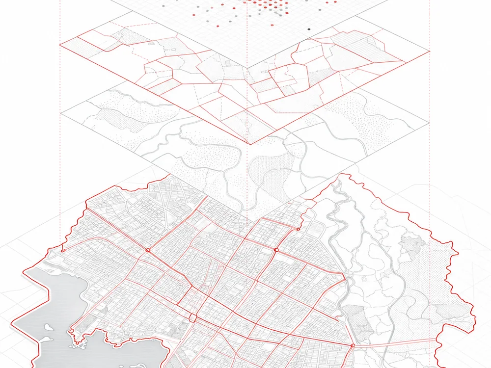
VISTAR keeps projects grounded in real council workflows — aligning stakeholders, validating the data and supporting users before, during and after go-live.
VISTAR Information Solutions is led by Ravi Vasagar, a GIS, asset management and data analytics consultant with more than 20 years’ experience across Australian and New Zealand local government and utility environments — supported by a network of trusted specialists in GIS, asset systems, data and integration.
That means we can scale to the size of your project, bringing in the right expertise — whether you need a single specialist to backfill a role or a small team to deliver a GIS replacement, asset system upgrade, data migration or business and workflow transformation.
The focus stays practical delivery: clear requirements, reliable data, workable processes and solutions that fit the way council teams actually operate.
If you are planning a system upgrade, cleaning up asset data, covering a short-term resourcing gap or improving integrations, VISTAR can help you work through the next step.
Available for contract, interim, project-based and backfill assignments across Australia and New Zealand.
VISTAR Information Solutions collects the information you submit through this website’s contact form — your name, organisation, email address and message — solely to respond to your enquiry. We do not store form submissions on this website beyond what is needed to reply.
Your details are sent securely to our team via email and are not shared with or sold to third parties. If you provide consent, we may use your email to send a confirmation and a reply. You may request access to or deletion of your information at any time by emailing contact@vistaris.com.au.
This site does not use advertising cookies. A spam-protection honeypot field is present on the contact form; it is hidden from visitors and, if filled, the submission is discarded.